Saturday, June 15, 2024
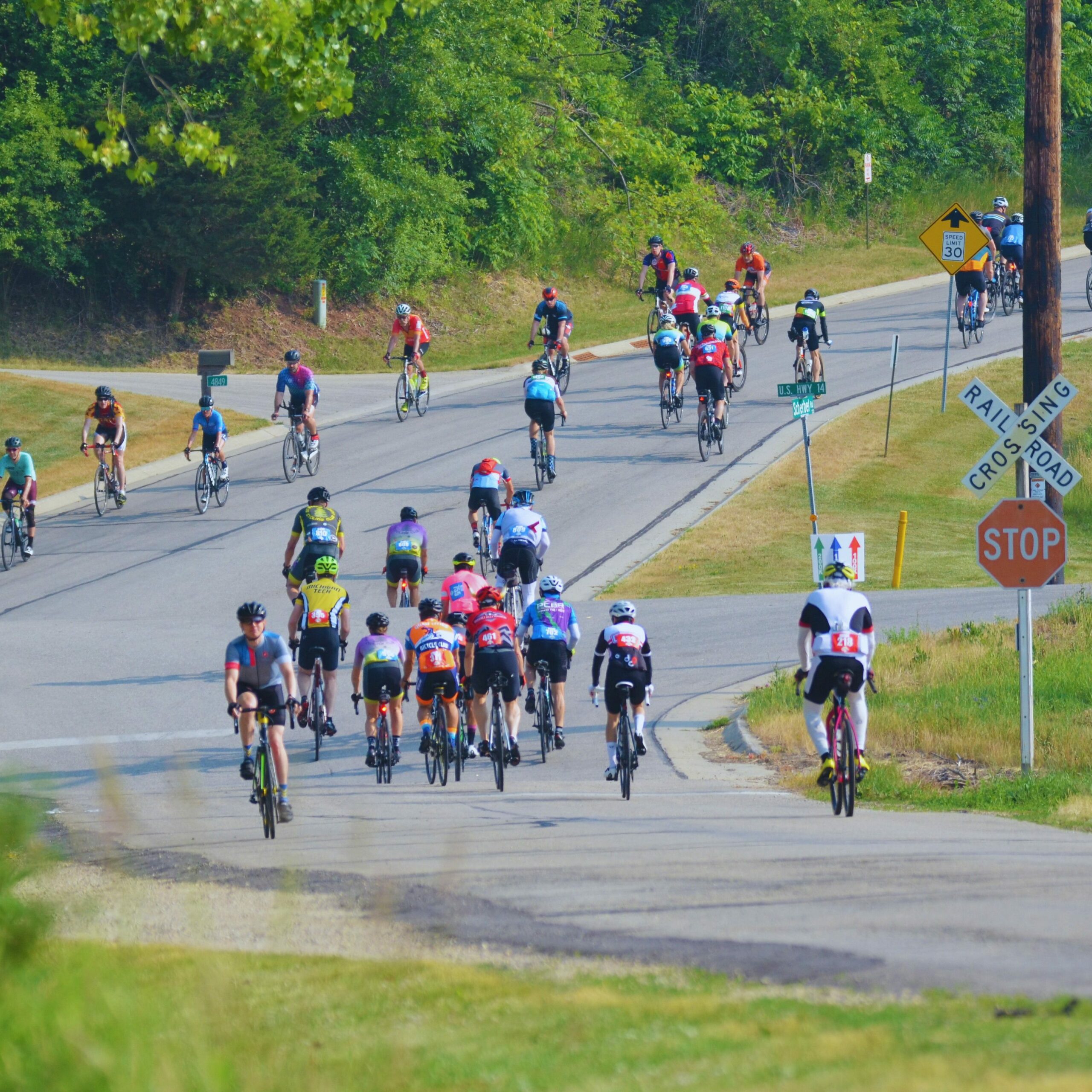
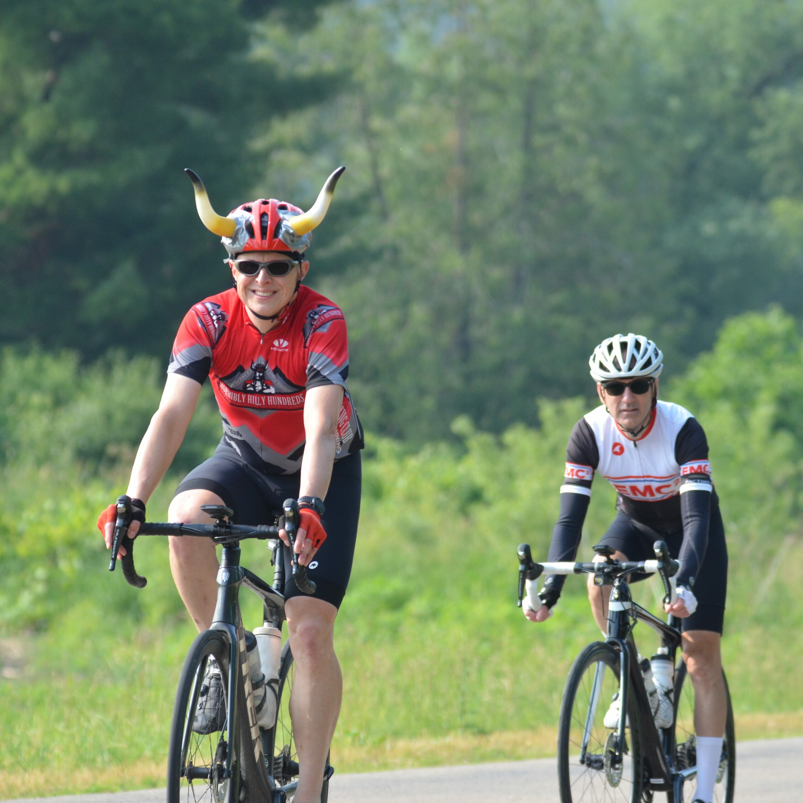
With up to 10,000 feet of elevation gain, the Horribly Hilly Hundreds presents one of the Midwest’s toughest challenges for the serious cyclist. Nearly 1,000 riders participate in this one-day challenge ride that serves as an important fundraiser for Friends of Blue Mound State Park.
Registration
Approximately 1,200 riders test their mettle on southwestern Wisconsin’s scenic byways each year in the Horribly Hilly. Join the ranks of an inspired community of riders for the premier cycling event in the Badger State and beyond.
Exit to RunSignUp
Individual & Tandem entries are full. You can still register for the “Friends of the Park” option through June 8 or until ride capacity has been reached. All proceeds will go directly to Friends of Blue Mound State Park (FBMSP), which is a 501(c)(3) non-profit organization.

Ride Training

If you want to join an early season ride training program to better prepare for HHH, check out Bombay Bicycle Clubs Challenge Event Training Series (BCETS) here.
We ride through all the hills and roads on the HHH coarse over 15 straight Saturdays from March to early June that are progressively hillier to make you stronger. All routes are on Ride with GPS and organized into small groups to accommodate different abilities lead by an experienced Ride Leader. Come join the fun and climb with us!
Thanks to our sponsors who help make the Horribly Hilly Hundreds a success.
Your Support Makes a Difference
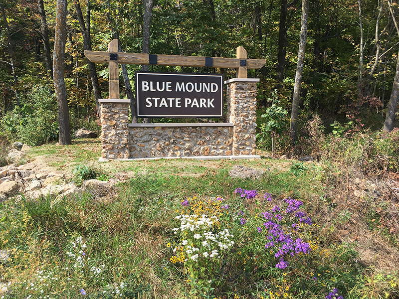
The Horribly Hilly Hundreds cycling event is the flagship annual fundraiser for the Friends of Blue Mound State Park. The all-volunteer organization works to enhance and preserve the natural resources while offering activities and projects to improve the visitor experience at Blue Mound State Park. We thank the HHH riders for their participation and support of the park.